Meeting New Climate Challenges with Precision Data
UM6P Impact | Science in Action #07

As climate change accelerates, having precise, localized temperature information is no longer a luxury — it’s a necessity. Morocco, with its rapidly shifting landscapes — from coastal plains to rugged mountains and expansive deserts — faces highly variable climate risks. Yet traditional ground weather stations, often too sparse and unevenly distributed, cannot capture this local complexity.
Recognizing this urgent gap, Wiam Salih and her team at UM6P have developed TEMLI — Temperature Estimation with Machine Learning and Land Inputs — a groundbreaking model that combines satellite data and artificial intelligence to generate daily, high-resolution air temperature maps.
With TEMLI, Morocco moves towards a new era of localized climate resilience.
Meet Wiam Salih and the Birth of TEMLI

Who is Wiam Salih?
Bridging Research and Real-World Climate Action
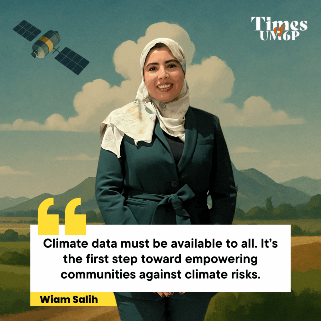
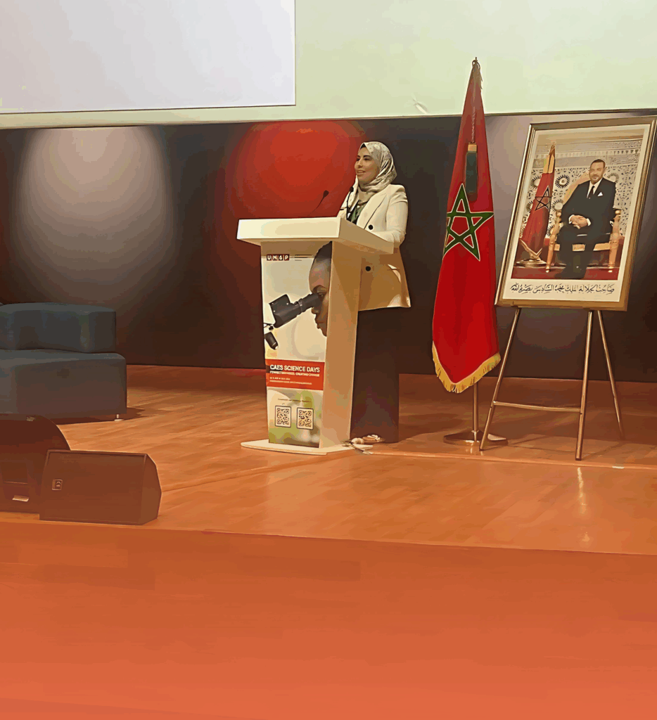
Wiam Salih is a climate researcher at the International Water Research Institute of University Mohammed VI Polytechnic (UM6P), where she specializes in the intersection of environmental sciences, satellite remote sensing, and machine learning. Her research focuses on designing innovative, data-driven solutions to address climate vulnerabilities in regions with limited meteorological infrastructure.
She is the lead developer of TEMLI, a high-resolution air temperature estimation model that combines satellite data and artificial intelligence to support sectors such as agriculture, water management, and public health. Through her work, Wiam promotes a vision of climate science that is practical, inclusive, and field-ready, ensuring that cutting-edge research reaches the communities who need it most.
What inspired the creation of TEMLI?
The idea behind TEMLI was born from a striking observation early in Wiam Salih’s research career: Morocco—and many other regions—was operating blind when it came to local climate data. While climate change was accelerating, the country’s limited and unevenly distributed ground weather stations couldn’t capture the real temperature variations unfolding across its diverse terrain—from mountain valleys to urban heat islands and desert plains.
This lack of fine-scale data had serious consequences. Farmers struggled to anticipate heatwaves and frosts, often reacting too late. Urban planners lacked the information needed to protect vulnerable neighborhoods from extreme heat. Water managers faced rising uncertainty in managing drought and evaporation rates. Across sectors, decisions were being made in the dark.

Understanding the Problem: The Challenge of Measuring Temperature
Measuring air temperature across diverse landscapes like those of Morocco is a much more complex challenge than it seems. Traditional meteorological stations provide valuable data, but they remain isolated points scattered across vast territories. Between these stations, there is often no information to capture the real variations occurring from valley to mountain and from desert to coast. This spatial gap leaves huge blind spots, particularly in remote and rural areas where climate impacts are often the most severe.
Moreover, while global reanalysis models like ERA5 offer broader geographic coverage, their resolution is far too coarse for local decision-making. A model grid of 9 to 25 kilometers averages out small but critical differences in temperature.
This means that a farmer in a mountain village, a planner designing a new city district, or a water manager preparing for drought cannot rely on this data to anticipate conditions on the ground. They risk basing decisions on blurred, generalized information rather than real, local climate signals.
Without high-resolution, localized temperature data, communities remain exposed. Agriculture suffers unpredictable crop losses. Cities fail to protect vulnerable populations during heatwaves. Water shortages become harder to manage. This reality underlines the urgent need for new methods capable of providing daily, fine-scale, accurate air temperature information everywhere, not just in places where ground stations happen to exist.
Introducing TEMLI: A New Approach to Climate Intelligence
TEMLI was developed to meet this need head-on. It represents a shift in how we think about climate monitoring — moving away from relying only on scattered ground stations toward integrating the full power of satellite observations with the intelligence of machine learning. Rather than trying to fill the gaps one by one with new stations, TEMLI reads the Earth’s surface and atmosphere from space to predict air temperatures accurately across entire landscapes.
The model operates by combining several physical indicators collected by satellite sensors: the land’s surface temperature, the density of vegetation, the presence of surface water, the brightness of the ground reflecting sunlight, and the patterns of wind circulation near the surface. These environmental signals, taken together, contain rich information about how heat behaves at ground level.
Using a machine learning architecture called a Multilayer Perceptron, TEMLI is trained to recognize the complex, nonlinear relationships between these satellite-derived variables and the actual air temperatures recorded at ground stations. Once trained, TEMLI can produce high-resolution, daily temperature maps at a scale of one kilometer — capturing the subtle changes and extreme events that global models miss.
The key innovation of TEMLI is that it does not require ongoing recalibration once deployed. After being trained on existing station data, it can generate accurate temperature estimates even for regions where no ground data is available. This makes it a scalable, efficient, and practical tool for improving climate resilience not just in Morocco, but across all regions facing similar data challenges.
Why TEMLI Changes Everything

TEMLI introduces a fundamental shift in how countries like Morocco can understand and manage climate risks. First, by providing air temperature data at the fine spatial scale of one kilometer, TEMLI uncovers local patterns that were invisible under traditional methods. Farmers can now know exactly when and where temperature stress might threaten their crops. Urban planners can identify specific neighborhoods vulnerable to heat extremes. Water managers can predict how temperature variations will affect evaporation rates and water supply reliability.
Second, TEMLI’s high accuracy offers a level of trust essential for operational decision-making.
With a Root Mean Square Error of less than 1.6°C, TEMLI’s predictions are precise enough to be used for planning, early warnings, and adaptation strategies. It ensures that decisions are based not on generalized national averages but on real, detailed, local conditions.
Finally, TEMLI represents a model that can grow and evolve. Its ability to operate independently of ground stations means it can be deployed rapidly across vast regions with minimal infrastructure. Its machine learning core can be updated as new satellite products or improved algorithms become available. TEMLI is not just a research project; it is a living system capable of adapting alongside the evolving needs of climate resilience.
Key Results: Validating TEMLI Across Morocco
The validation of TEMLI across Morocco demonstrates both its scientific rigor and its operational potential. During extensive testing, TEMLI achieved a root mean square error of less than 1.6°C when compared to ground station observations — a major improvement over traditional models like ERA5 and ERA5-Land. The model showed high correlation (R² greater than 0.9) with observed daily minimum, maximum, and mean temperatures, providing strong confidence in its predictive capacity.
Importantly, TEMLI successfully captured extreme temperatures — both the coldest and hottest events — which are critical for sectors like agriculture and public health. It was able to replicate the sharp cooling of mountain valleys during winter nights as well as the intense heating of desert regions during summer days. Validation exercises across different climatic zones — including coastal areas, high mountains, and arid basins—confirmed that TEMLI performs consistently, even in Morocco’s most challenging environments.
It was tested both on stations included in the training phase and on independent stations, proving its ability to generalize to new locations without loss of accuracy.
These results show that TEMLI is not just a technical success in a laboratory setting but a field-ready solution, capable of delivering the kind of localized, trustworthy climate intelligence that is essential for building resilience at every level of society.
Applications Across Sectors: Where TEMLI Makes a Difference
TEMLI’s fine-resolution temperature maps enable real-world impact across multiple sectors. In agriculture, farmers can better plan sowing dates, irrigation schedules, and protection against extreme weather, helping to optimize yields and reduce losses in an increasingly volatile climate. In urban planning, cities can map urban heat islands more precisely, guiding the creation of cooler, greener urban spaces to protect citizens during heatwaves. In water management, authorities can improve modeling of snowmelt, droughts, and evapotranspiration.
leading to more sustainable water allocation strategies. In public health, health systems can deliver targeted heatwave warnings, helping prevent heat-related illnesses and saving lives during temperature extremes. Finally, in environmental conservation, detailed temperature mapping supports habitat protection, identification of climate refugia, and biodiversity conservation efforts. Overall, TEMLI equips sectors across Morocco with the tools needed for smarter, climate-informed decisions.
Next Steps: Scaling TEMLI for Greater Impact

The next phase of TEMLI’s journey focuses on expanding its capabilities. It will introduce real-time monitoring by integrating more frequent satellite updates for near-real-time temperature mapping. Geographic scaling will adapt TEMLI to other regions like the Sahel, the Middle East, and Central Asia. To improve resilience, cloud-resilient modeling is also underway, enhancing performance during cloudy days through multi-sensor satellite fusion.
Another key step is operational integration, connecting TEMLI to early warning systems for agriculture, water management, and public health. These advances will help make TEMLI a dynamic, real-time climate intelligence service capable of supporting vulnerable regions worldwide. Through continuous innovation, TEMLI aims to deliver localized, reliable, and actionable data where it is needed most.
A Greener Tomorrow
This research shows that climate intelligence is not just a technical upgrade—it’s a fundamental shift in how we approach resilience, equity, and informed decision-making in vulnerable regions. By making high-resolution temperature data accessible and actionable, Wiam Salih’s work redefines what it means to prepare for climate risks—not in abstract terms, but through practical tools that empower farmers, planners, and entire communities.
To explore more about her vision and scientific path:
Discover Wiam Salih’s profile and journey
Her biography, academic background, and contributions to climate resilience are available in the article.
Read the full research article
A Call for Collaboration: Shaping the Future of Climate Intelligence
The success of building localized, real-time climate intelligence systems depends on collaboration between climate scientists, data engineers, policymakers, and innovation leaders. This research at UM6P with TEMLI demonstrates that integrating satellite technology with machine learning can play a critical role in strengthening resilience to climate change.
“At UM6P, we are pioneering a new generation of climate intelligence by combining Earth observation, artificial intelligence, and a commitment to real-world impact. With TEMLI, we aim to provide actionable climate information at the scale where adaptation truly happens.”
By generating daily, high-resolution temperature maps, TEMLI empowers decision-makers to anticipate risks, optimize resource management, and develop targeted climate adaptation strategies. Beyond Morocco, this model sets a precedent for scalable, affordable solutions that can be adapted to other data-scarce regions worldwide.
The future of climate resilience will be shaped by tools that are accurate, accessible, and actionable. Initiatives like TEMLI exemplify UM6P’s vision of transforming scientific research into practical solutions that serve communities, protect ecosystems, and drive sustainable development. As climate risks escalate, the need for dynamic, ground-level intelligence has never been more urgent—and UM6P’s work stands at the forefront of this vital transformation.

Leave a Reply